
Finding People Along a Paramount Street
A Paramount street directory search should move from the known address to the records that can actually speak about it. The Assessor Portal finds a parcel and AIN. The map view supplies neighboring polygons. The Assessor counter is the documented route for owner identity omitted online. RR/CC then takes a name and recording year into its grantor-grantee index. Voter access is controlled, while city permits and old criss-cross directories add project or historical context.
The order matters. An address can be mistyped, renamed, or split across parcels. A deed can show a buyer without proving occupancy. A permit can identify an applicant without identifying the person who lived there. A street directory becomes reliable when each clue is copied with its date, record number, and custodian.
- Run the address in the Los Angeles County Assessor Portal and save the AIN, situs, legal description, and event references.
- Use the Assessor parcel map to inspect nearby AINs, keeping the county map separate from city zoning.
- Obtain owner and assessment-mailing information through the Assessor counter when a lawful property question requires it.
- Take the owner name and year to the Los Angeles County RR/CC Norwalk index, then follow the grantor backward through earlier deeds.
- Use voter rules, Paramount permit files, and the 1960 or 1964 criss-cross volumes only for the question each source can answer.
Assessor Fields Behind a Paramount Street Search
The Assessor Portal is the primary modern address tool for Paramount. It accepts an address or a ten-digit Assessor Identification Number. A selected result can expose the situs, use code, legal-description shorthand, tax-rate area, building characteristics, assessed values, parcel status, and event history. It is free to view, but it is not a general owner-name search and it does not reveal every household member.
Save the fields before moving on. A parcel-change row or recording reference may shorten a later RR/CC search. The online card omits owner and assessment-mailing identity, so do not present that omission as a failed search. Use the Assessor district counter or Property Data Sales for the county’s documented owner-information route.
| Search by AIN | Ten-digit number; one search mode. |
|---|---|
| Search by address | Street number and name with city or ZIP, followed by parcel selection. |
| Map selection | Optional spatial path to nearby parcel polygons. |
| Parcel facts | AIN, situs, legal summary, use, building, value, and event fields. |
The Assessor property-search explanation clarifies the distinction between an online parcel result and information supplied by a district office.
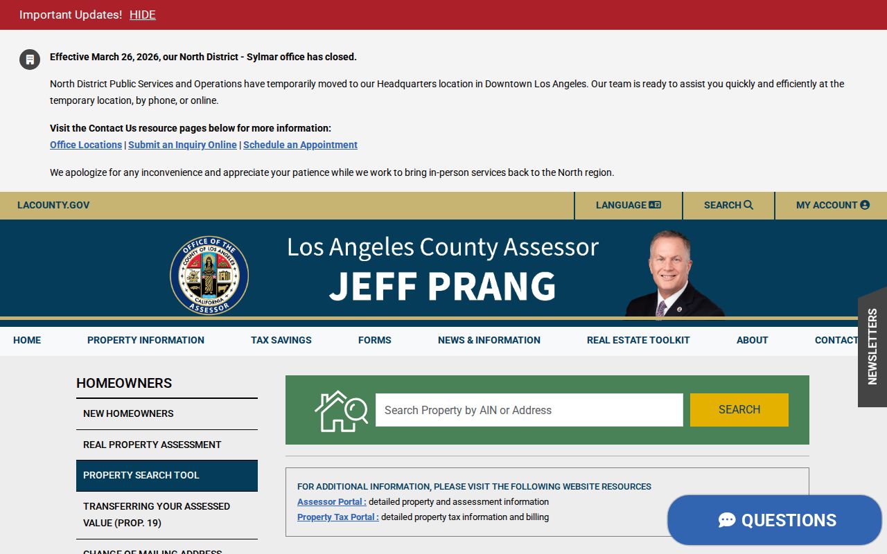
The image shows the address-keyed starting point for a Paramount street directory search, not a public owner roster.
GIS-NET and Paramount’s City-Line Blind Spot
GIS-NET Public lists AIN, Address, and Intersection fields and offers identify, query, buffer, layer toggles, tract or parcel-map selection, measure, export, reports, and print tools. Those tools can help inspect an unincorporated edge or understand adjacent geometry. Planning states that GIS-NET is for unincorporated territory, however, and its zoning layers mask incorporated Paramount zoning.
For a Paramount parcel, use the Assessor Map Search for parcel context and Paramount Planning for municipal zoning. A map buffer can suggest which AINs surround an address, but the map does not add owner names that the county keeps offline. The result is a spatial aid, not a streetwide resident directory.
The county GIS-NET explanation and its field guide are useful when a boundary question reaches beyond the incorporated city.
A Paramount Street Parcel Card
A parcel card is the point where an address becomes a record key. Copy the displayed facts before making a name connection. The card can include parcel status, use type, tax-rate area, land and improvement values, building design or quality, units, bedrooms, baths, square footage, year built, legal-description shorthand, and event history.
Event rows can contain recording date, sequence, document number, type, reason, reassessable status, and parcel-change links. Some rows may include documentary-transfer-tax sale-price evidence. These fields are clues to a deed search, not a replacement for the recorded instrument. Owner and mailing fields remain absent from the public online result.
| Identity | AIN, situs, parcel status, and legal description. |
|---|---|
| Physical record | Use, design, quality, units, bedrooms, baths, area, and year built. |
| Value record | Land, improvement, base values, and reason codes. |
| Event record | Recording date, document reference, event type, and parcel changes. |
Paramount Street Records, Address by Address
Several record sets can be lined up along a Paramount street, but they do not all identify residents. The parcel card is the stable starting point. A recorded instrument adds a party and legal description. A permit adds work history and an applicant. The voter file is purpose-limited. A historical criss-cross directory can show a past occupant at a house number.
| Record Set | Keeper | What It Shows | Access |
|---|---|---|---|
| Assessor parcel card | LA County Assessor | AIN, situs, use, values, building and event facts | Free web; owner offline |
| Assessor map | Assessor Map Search | Adjacent polygons and parcel numbers | Free map route |
| Deeds and liens | LA County RR/CC | Grantor, grantee, date, document and legal description | Norwalk name/year index |
| Voter records | LA County Elections | Controlled registration and district information | Identity or authorized purpose |
| Building permits | Paramount Building and Safety | Work, address, applicant, contractor and inspections | Counter or focused request |
The AIN ties the assessment view to parcel changes and can help locate an instrument. The legal description bridges a renamed street. A street name alone is weaker because Paramount changed Ocean Avenue to Paramount Boulevard and Center Street, later Olive Street, to Alondra Boulevard. Keep the parcel key beside every street result.
Paramount Permit Files by Address
Paramount Building and Safety keeps an address-based improvement trail. The department reviews plans, issues construction, alteration, demolition, and relocation permits, inspects permitted work, and allows counter review of files. Permit records can date additions, demolitions, reroofing, electrical or plumbing work, inspections, and contractor involvement. A permit applicant is not automatically an occupant, so use the file as property history.
The online iWorQ status route is narrower. It asks for a plan-check or permit number and may require an emailed access code. It is evidence for a known project, not an open address-to-person index. For an older file, a focused request or counter visit is more useful than guessing a permit number.
The city’s permit-status and file-review instructions explain the available route.
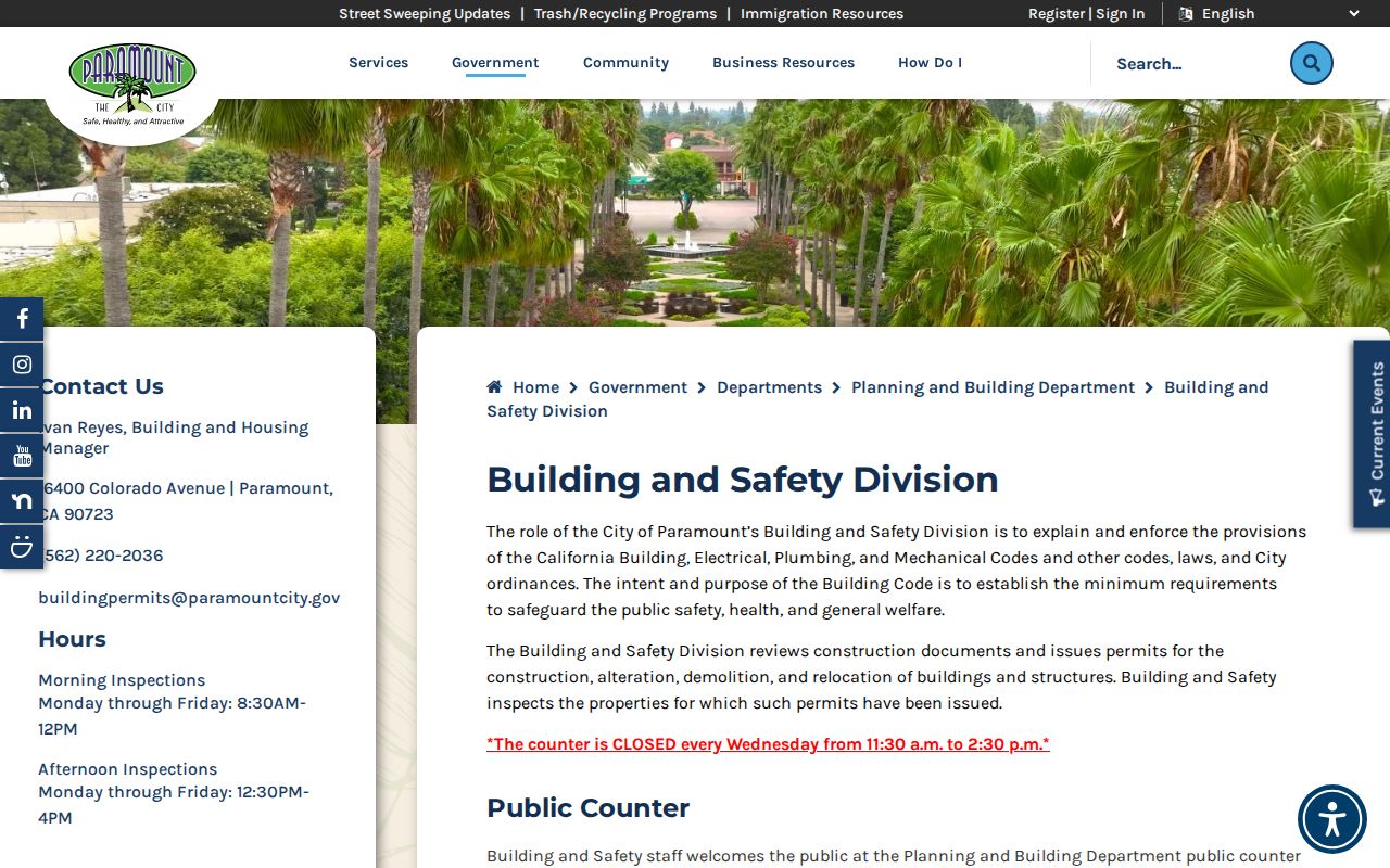
Permit material can establish a change at a street address while leaving the resident question open.
Ocean, Center, and Alondra Street Names
Street names can hide a match in a Paramount street directory. Ocean Avenue became Paramount Boulevard in 1931. Center Street and later Olive Street became Alondra Boulevard. Clearwater and Hynes were localities before the 1948 Paramount name. A search that uses only the current name may miss a deed, directory, newspaper, or map cataloged under the earlier label.
Use the AIN, lot and tract description, and parcel-change history as the bridge. The Historic Context Statement combines permits, maps, photographs, and oral history, which helps distinguish a renamed road from a new road. Nearby Compton, Long Beach, Bellflower, and Downey references may also belong to the historic coverage of the same address.
Street history is a research clue, not a reason to merge parcels without checking the legal description.
The Norwalk Grantor-Grantee Trail
Los Angeles County RR/CC has no public Internet deed index. Real-estate instruments are indexed by party name and year at Norwalk, not by a modern Paramount street address. The lower level holds 1851-1957 material and the second floor holds 1958-present. Free viewing requires an appointment, which may be made up to two weeks ahead. The office does not perform an address or telephone index search for the researcher.
An address question therefore needs preparation before the visit. Bring the street label, house number, likely owner or seller name, and an approximate year, then ask staff to locate the name-and-year entry rather than asking for a streetwide search. The office can explain viewing and copy procedures, but the researcher must read the index and decide which instrument fits the legal description. A mail or phone inquiry can clarify the current procedure, while an ordered copy supplies the filed instrument after the index work identifies it. This is a county access chain, not an online Paramount street directory.
Once an Assessor result supplies an owner name or document reference, walk the chain:
- Find the current owner as grantee in the acquisition year.
- Copy the grantor, recording date, document number, legal description, and related references.
- Search that grantor as an earlier grantee, then repeat with the next seller.
- Use the legal description to reject same-name matches and renamed-street errors.
Plain copies are listed as $5 for the first page and $3 for each additional page. Certified copies are $6 plus $3, name/year research is $0.50 with a $1 minimum, card handling is $1.75, and UPS return is $18.50 in the research record. Verify the current schedule before ordering; the fee details do not create a remote street search.
The RR/CC real-estate records page is the official access route.
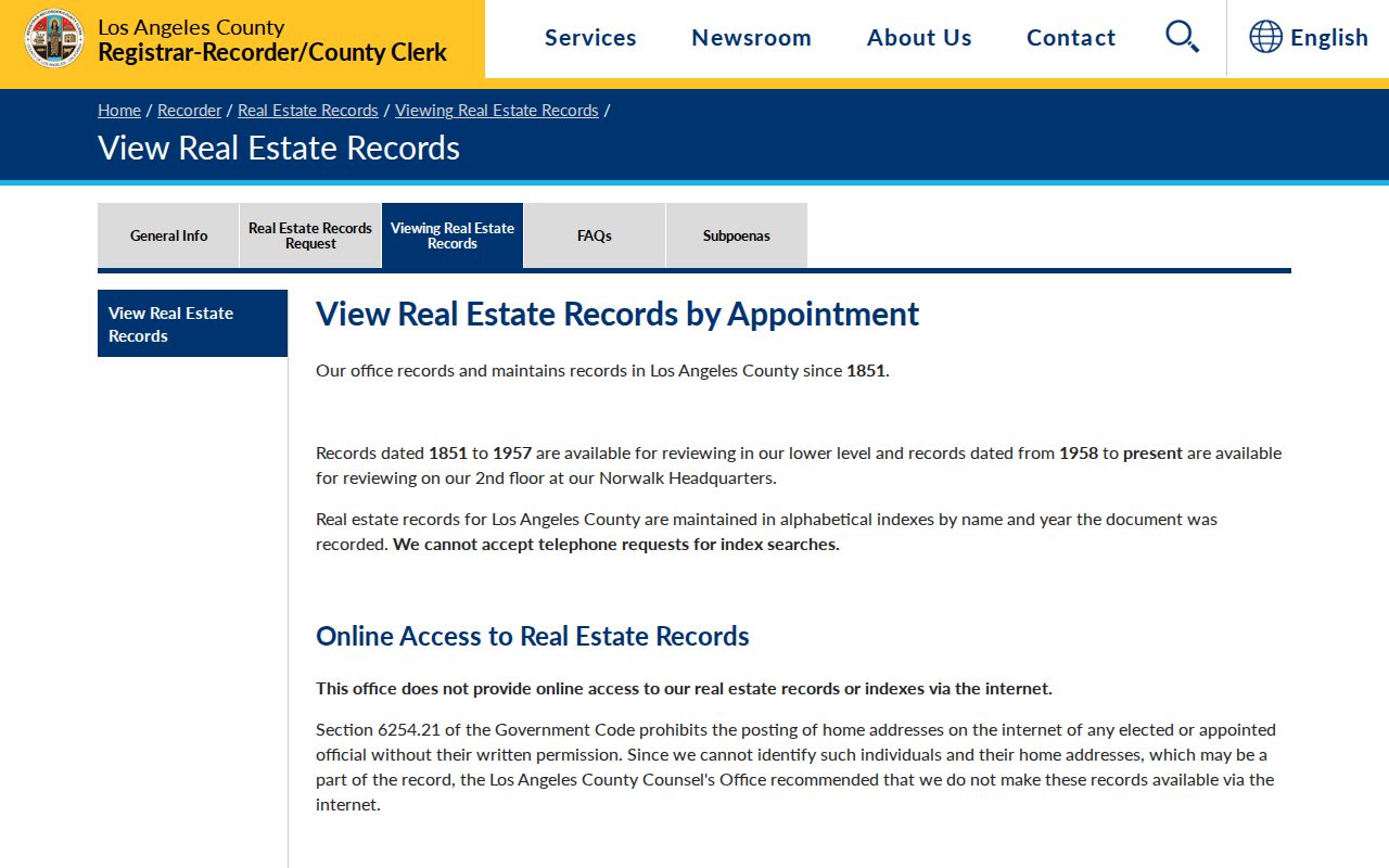
The recorder image represents the access instructions; the underlying index work still happens through the county’s name-and-year process.
The 1960 and 1964 Criss-Cross Street Shelf
The historical street layer is unusually specific. Paramount’s Historic Context Statement verifies the Paramount Blue Book, Criss Cross City Directory for 1960 and 1964, published by Luskey Brothers & Co. in Anaheim. The 1956 TLM volume is alphabetic, while the Blue Books reverse the path from a person to an address. Exact call numbers and a scanned local sample still require library staff.
A criss-cross entry may list a house number, street, occupant, telephone, or business clue depending on the edition. Treat its abbreviation key as part of the evidence. Compare the target number with nearby numbers, then check the matching census, newspaper, deed, or permit. A missing name can mean a move, a publication boundary, a different adult listed, or an old street label.
- Parcel
- Mapped land unit identified by an AIN and legal description.
- Situs address
- The physical location assigned to the parcel, distinct from a mailing destination.
- Plat
- A recorded map that shows lots, blocks, and tract relationships.
- Criss-cross directory
- A street-and-number arrangement that can lead from an address to a historical listed occupant.
What a Paramount Street Directory Cannot Show
A Paramount street directory can connect an address to a parcel, deed party, permit file, or historical entry. It cannot identify every person in a household, prove current occupancy from a deed, expose DMV or utility-customer addresses, or produce a complete ZIP-wide owner list from the public Assessor site. Protected residents may be shielded by Safe at Home, and voter information remains controlled by California law.
Even a matching name needs a second stable clue. Compare the legal description, AIN, middle initial, spouse, business, court role, or date before treating two records as one person. If the record is important, obtain the source copy from the custodian and keep the record’s limits attached to the result.
Lawful use. Paramount address records support personal, family-history, and civic research. Do not use them to stalk, harass, intimidate, threaten, or harm anyone.